
- 説明:
UC Merced は 21 クラスの土地利用リモート センシング画像データセットで、1 クラスあたり 100 枚の画像があります。画像は、USGS National Map Urban Area Imagery コレクションから全国のさまざまな都市部の大きな画像から手動で抽出されました。このパブリック ドメインの画像のピクセル解像度は 0.3 m です。
ほとんどの画像は 256x256 ピクセルですが、形状の異なる 44 の画像があります。
追加のドキュメント:コードを使用したペーパーの探索
ホームページ: http://weegee.vision.ucmerced.edu/datasets/landuse.html
ソース コード:
tfds.image_classification.UcMercedバージョン:
-
2.0.0(デフォルト): 新しい分割 API ( https://tensorflow.org/datasets/splits )
-
ダウンロードサイズ:
317.07 MiBデータセットサイズ:
238.63 MiB自動キャッシュ(ドキュメント):
shuffle_files=Falseの場合のみ (トレーニング)スプリット:
| スプリット | 例 |
|---|---|
'train' | 2,100 |
- 機能構造:
FeaturesDict({
    'filename': Text(shape=(), dtype=string),
    'image': Image(shape=(None, None, 3), dtype=uint8),
    'label': ClassLabel(shape=(), dtype=int64, num_classes=21),
})
- 機能のドキュメント:
| 特徴 | クラス | 形 | Dtype | 説明 |
|---|---|---|---|---|
| 特徴辞書 | ||||
| ファイル名 | 文章 | ストリング | ||
| 画像 | 画像 | (なし、なし、3) | uint8 | |
| ラベル | クラスラベル | int64 |
監視されたキー(
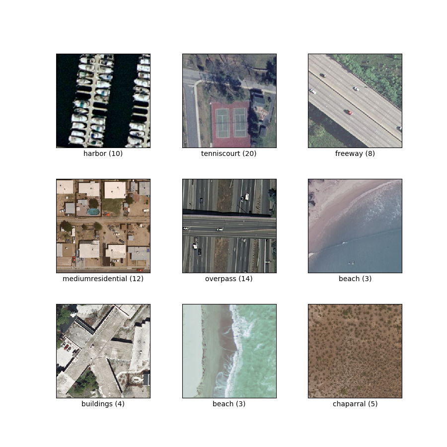
as_superviseddocを参照):('image', 'label')図( tfds.show_examples ):
- 例( tfds.as_dataframe ):
- 引用:
@InProceedings{Nilsback08,
   author = "Yang, Yi and Newsam, Shawn",
   title = "Bag-Of-Visual-Words and Spatial Extensions for Land-Use Classification",
   booktitle = "ACM SIGSPATIAL International Conference on Advances in Geographic Information Systems (ACM GIS)",
   year = "2010",
}