
- Description:
UC Merced is a 21 class land use remote sensing image dataset, with 100 images per class. The images were manually extracted from large images from the USGS National Map Urban Area Imagery collection for various urban areas around the country. The pixel resolution of this public domain imagery is 0.3 m.
While most images are 256x256 pixels, there are 44 images with different shape.
Additional Documentation: Explore on Papers With Code
Homepage: http://weegee.vision.ucmerced.edu/datasets/landuse.html
Source code:
tfds.image_classification.UcMercedVersions:
2.0.0(default): New split API (https://tensorflow.org/datasets/splits)
Download size:
317.07 MiBDataset size:
238.63 MiBAuto-cached (documentation): Only when
shuffle_files=False(train)Splits:
| Split | Examples |
|---|---|
'train' |
2,100 |
- Feature structure:
FeaturesDict({
    'filename': Text(shape=(), dtype=string),
    'image': Image(shape=(None, None, 3), dtype=uint8),
    'label': ClassLabel(shape=(), dtype=int64, num_classes=21),
})
- Feature documentation:
| Feature | Class | Shape | Dtype | Description |
|---|---|---|---|---|
| FeaturesDict | ||||
| filename | Text | string | ||
| image | Image | (None, None, 3) | uint8 | |
| label | ClassLabel | int64 |
Supervised keys (See
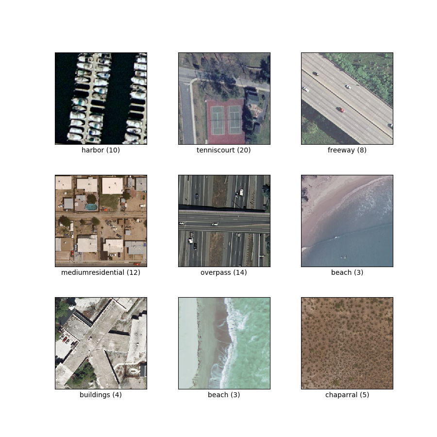
as_superviseddoc):('image', 'label')Figure (tfds.show_examples):
- Examples (tfds.as_dataframe):
- Citation:
@InProceedings{Nilsback08,
   author = "Yang, Yi and Newsam, Shawn",
   title = "Bag-Of-Visual-Words and Spatial Extensions for Land-Use Classification",
   booktitle = "ACM SIGSPATIAL International Conference on Advances in Geographic Information Systems (ACM GIS)",
   year = "2010",
}