
- תיאור :
UC Merced הוא מערך תמונות של 21 מחלקות לשימוש קרקע עם חישה מרחוק, עם 100 תמונות לכל מחלקה. התמונות חולצו ידנית מתמונות גדולות מאוסף USGS National Map Urban Area Imagery עבור אזורים עירוניים שונים ברחבי הארץ. רזולוציית הפיקסלים של תמונה זו ברשות הרבים היא 0.3 מ'.
בעוד שרוב התמונות הן בגודל 256x256 פיקסלים, ישנן 44 תמונות בעלות צורה שונה.
תיעוד נוסף : חקור על ניירות עם קוד
דף הבית : http://weegee.vision.ucmerced.edu/datasets/landuse.html
קוד מקור :
tfds.image_classification.UcMercedגרסאות :
-
2.0.0(ברירת מחדל): API חדש מפוצל ( https://tensorflow.org/datasets/splits )
-
גודל הורדה :
317.07 MiBגודל מערך נתונים :
238.63 MiBשמור אוטומטי במטמון ( תיעוד ): רק כאשר
shuffle_files=False(רכבת)פיצולים :
| לְפַצֵל | דוגמאות |
|---|---|
'train' | 2,100 |
- מבנה תכונה :
FeaturesDict({
    'filename': Text(shape=(), dtype=string),
    'image': Image(shape=(None, None, 3), dtype=uint8),
    'label': ClassLabel(shape=(), dtype=int64, num_classes=21),
})
- תיעוד תכונה :
| תכונה | מעמד | צוּרָה | Dtype | תיאור |
|---|---|---|---|---|
| FeaturesDict | ||||
| שם קובץ | טֶקסט | חוּט | ||
| תמונה | תמונה | (אין, אין, 3) | uint8 | |
| תווית | ClassLabel | int64 |
מפתחות בפיקוח (ראה
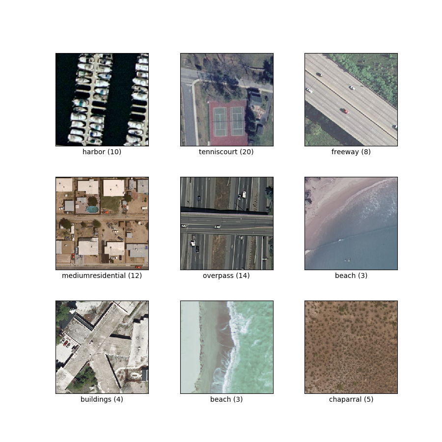
as_superviseddoc ):('image', 'label')איור ( tfds.show_examples ):
- דוגמאות ( tfds.as_dataframe ):
- ציטוט :
@InProceedings{Nilsback08,
   author = "Yang, Yi and Newsam, Shawn",
   title = "Bag-Of-Visual-Words and Spatial Extensions for Land-Use Classification",
   booktitle = "ACM SIGSPATIAL International Conference on Advances in Geographic Information Systems (ACM GIS)",
   year = "2010",
}